A 1 mile uphill hike gets you to the top of Table Rock Mountain with epic views in every direction.

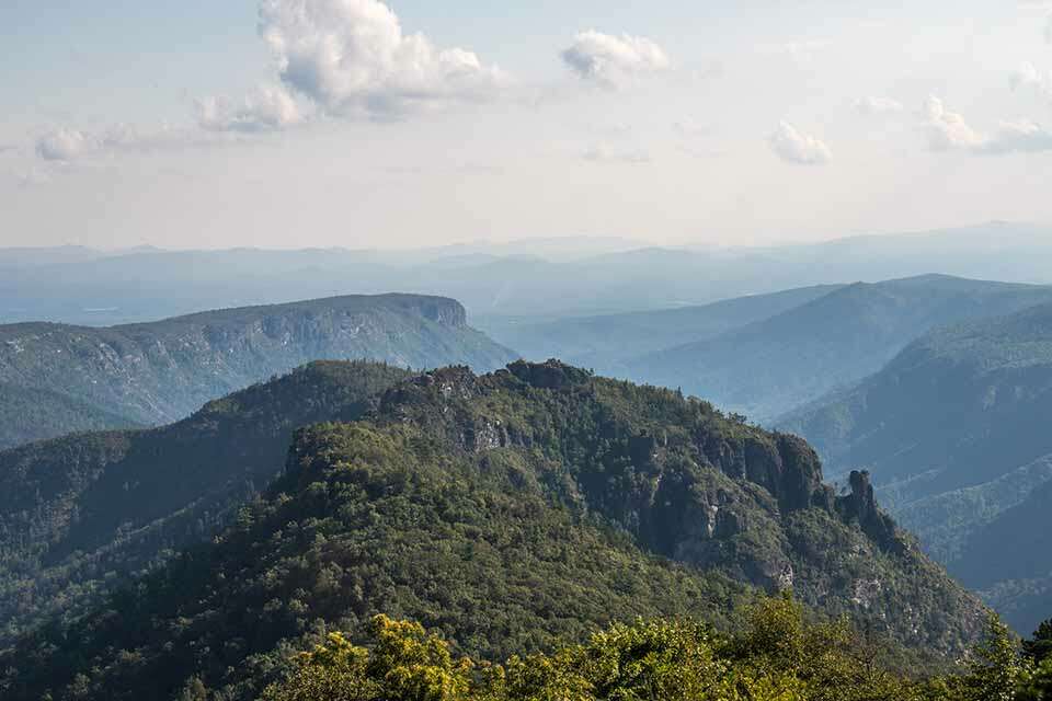
Looking south from the summit of Table Rock Mountain provides great views of The Chimneys. 
The summit of Table Rock Mountain has beautiful views of the southern side of Hawksbill Mountain. 
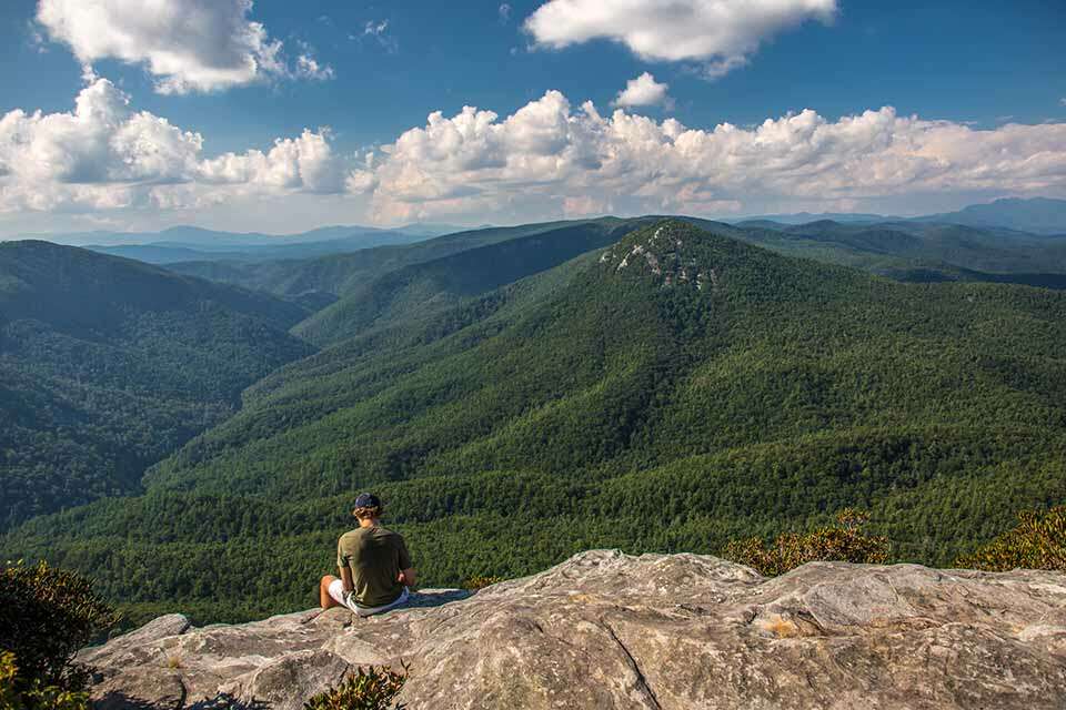
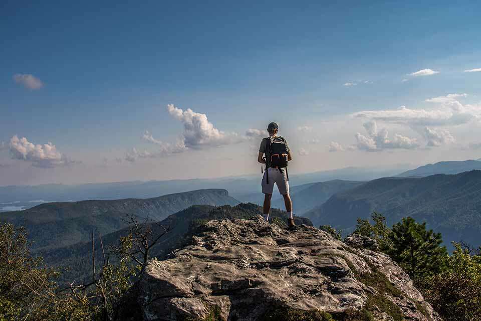
From the summit of Table Rock Mountain you have great views in every direction.
One of the most iconic peaks in North Carolina’s Linville Gorge, Table Rock Mountain, is only a 1 mile hike to the summit. The top of Table Rock provides views in every direction including great view of Hawksbill Mountain to the North, and the Chimneys to the South. There are also exceptional views of the Gorge as well. While the hike is short, it is mostly all uphill as you gain nearly 700 feet in your trek to the top of Table Rock Mountain.
The trailhead for Tablerock Mountain is located at the end of Old Table Rock on the east side of the Gorge south of Newland and north of Morganton. Old Table Rock road is a paved road but you have to travel about 7 miles on unpaved roads to reach it. You will approach from Highway 181 and turn on Ginger Cake Road following the signs to Table Rock. Ginger Cake Road, however, loops and intersects Highway 181 twice. So if you are approaching from the South, you will turn left on the first Ginger Cake Road. If you approach from the North, you will turn right on the second Ginger Cake Road; about 4 miles south of the Blue Ridge Parkway. From Ginger Cake road bear left onto Table Rock Road which quickly becomes unpaved. You will travel on Table Rock Road for about 5 and 1/2 miles turning right on FS 210B. Follow this for about 1 and 1/2 miles bearing right onto the paved Old Table Rock Road following this all of the way to the end where there is a large multi-level parking lot. There are restroom facilities onsite as well as numerous picnic tables.
The trailhead is located at the end of the parking lot opposite the restrooms. It is well marked and is just to the right of the informative sign-boards. The trail is in good shape but is somewhat rocky so heavier soled shoes are recommended.
The trail quickly starts ascending and climbs continuously to the top. It doesn’t take long until you start getting some nice views through the tress of the gorge, the Chimneys to the south, and table rock itself. The view at the top is much better so keep trekking up the trail. The trail will curve to the right and continue uphill. Another trail leads off to the left but you will want to continue uphill. Shortly after this, the mountains to sea trail departs off to the left but, once again, follow the trail uphill to the right.
As the trail switches back again you may see several small trails leading off the main trail but stay on the obvious main trail ascending uphill. Eventually the trail levels off and ends at an open rocky area at the top of Table Rock Mountain.
The views from the top of the mountain are priceless. Although you have only hiked 1 mile to the summit, you are going to want to sit back, rest, and take in the beautiful views of the surrounding mountains.
While the name suggests that the top of Table Rock would be flat, it isn’t. The top is very rocky and rough but can be easily explored. Just be mindful of the fact that there are sheer drop-offs in almost every direction.
This is an out and back hike so hike back down to the parking lot when you have finished enjoying the views atop Table Rock Mountain.


